Welcome to Leavenworth's Icicle Village Resort
A Friendly Mountain Escape
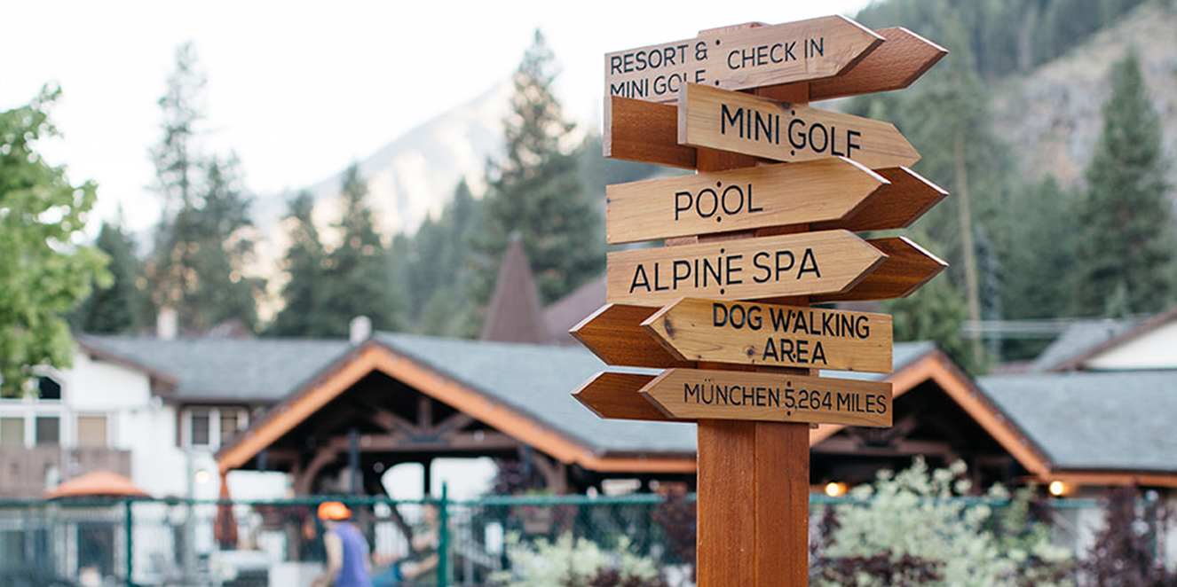
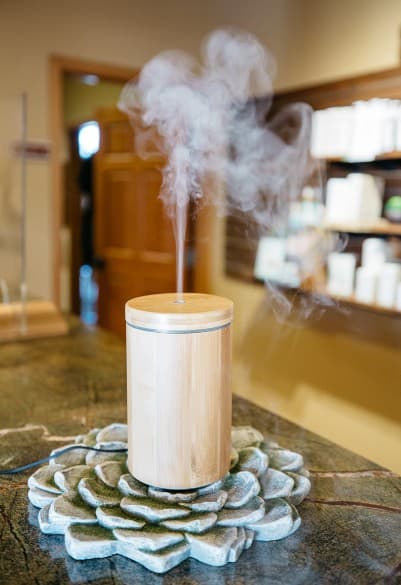
Welcome to our casual, family-friendly resort, surrounded by breathtaking views of the Cascade Mountains and a short walking distance from downtown Leavenworth. Icicle Village Resort provides an idyllic place for families, couples, and friends to escape and enjoy the expansive outdoors. The resort's popular features include comfortable guestrooms, the rejuvenating Alpine Spa, a fun-themed mini golf course, and Northwest-inspired fare with Bavarian favorites in the JJ Hills Restaurant & Bar.
Icicle Village has all the comforts of home, including complimentary breakfast and Wi-Fi, along with exceptional amenities like our year-round heated pool, hot tub, and game room. With our endless activities, unique setting, and convenient location across the street from the new Leavenworth Adventure Park, our guests come back year after year to make new memories.